Description
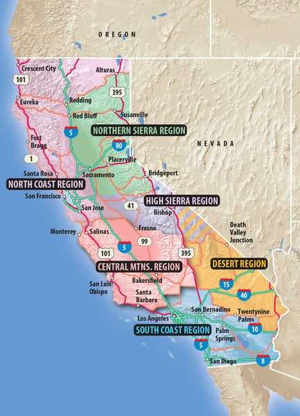
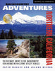
Part of a multi-award winning series, Backcountry Adventures: Northern California provides information and directions to 2,653 miles of SUV trails throughout the glorious California backcountry while teaching minimal environmental impact travel. The book gives detailed, step-by-step route directions for 152 scenic drives, rated from easy to challenging that take you from the coastal redwood forests to the peaks of the Sierra Nevada. In addition to the enormously detailed trail information, there are hundreds of photos of frontier towns, historic mining operations, old railroad routes, wildflowers, and native animals. Trail history is brought to life through the accounts of Spanish missionaries who first settled the coastal regions of Northern California; eager prospectors looking to cash in during California's gold rush; and legends of lost mines still hidden in the state's expansive backcountry. Every trail includes maps, ratings for degree of difficulty and scenic beauty, driving times, distances, and GPS coordinates. The book appeals to virtually everyone who loves the outdoors: campers, anglers, hikers, mountain bikers, snowmobilers, amateur prospectors, sightseers, GPS owners, wildlife seekers, and more.
Related products