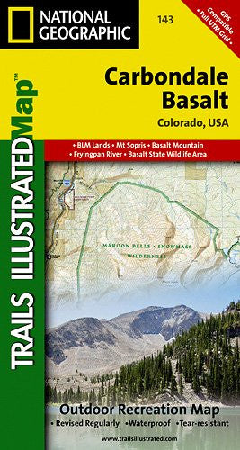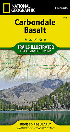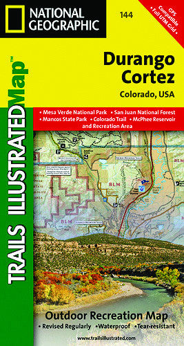
Description
The perfect companion for explorers of a new region for the first time or for locals finding a hidden gem
Have you ever arrived in a new town and wanted some advice on what the best hike might be? The Local Trails maps are folded maps with a selection of highlighted trails with descriptions, trail profiles, and other important information, distilled for the novice to the power user.
• Waterproof • Tear-Resistant • Topographic Map
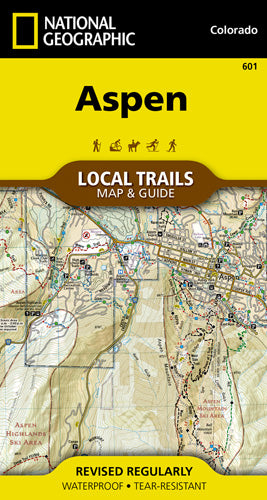
With more than 200 miles of trails just a short distance from town, visitors to Aspen have an enviable problem, with all of these trails to choose from, where should they start? The Aspen Local Trails map helps make sense of the question—where do the locals go when they want to take a short hike with the family or really push themselves with a heart pounding trip up one of the many nearby peaks? This map is a combination of a standard trail map on the front with a helpful guide on the back that has a selection of recommended hikes, from the easy 1.4 mile Highline Trail to the all-day commitment of the 12.3 mile Government Trail. Each selected trail includes a brief description, specs such as elevation gain and length as well as a detailed elevation profile to track your progress up and down the numerous peaks and valleys.
Each Local Trails map includes detailed trail maps at 1 inch = 1/2 mile. At this scale every turn of the trail is clearly visible and when covering steep terrain the contours are clearly visible. In addition to the standard features like trailheads and parking areas the maps also show difficulties for each trail segment so you can tell if the entire trail is moderate or if there is only a single short section of difficult on an otherwise easy trail.
Every Local Trails map is printed on "Backcountry Tough" waterproof, tear-resistant paper. A full UTM grid is printed on the map to aid with GPS navigation.
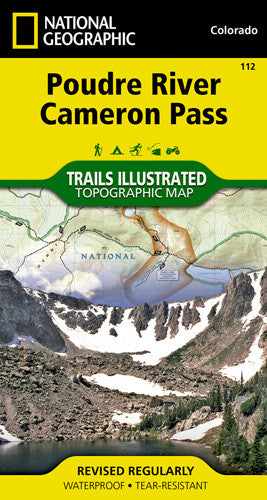
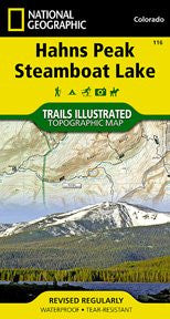
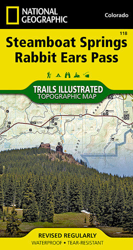
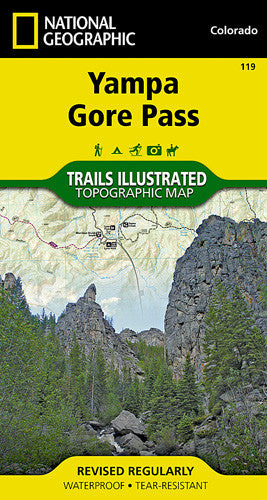
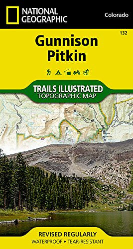
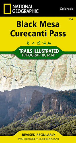
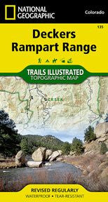
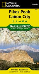
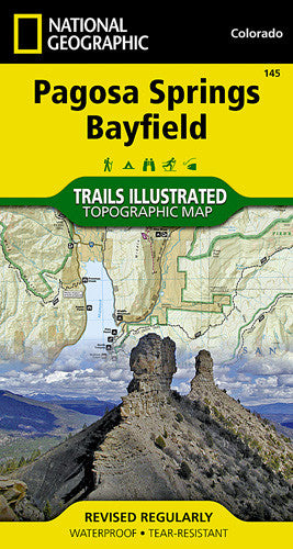
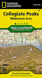
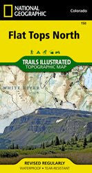
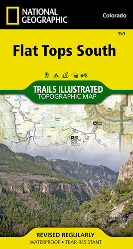
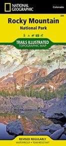
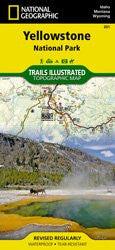
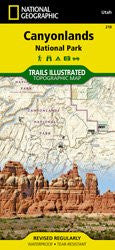
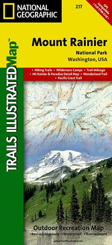
Related products