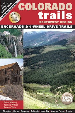
Colorado Trails Southwest Region


Colorado Trails Southwest Region
Description
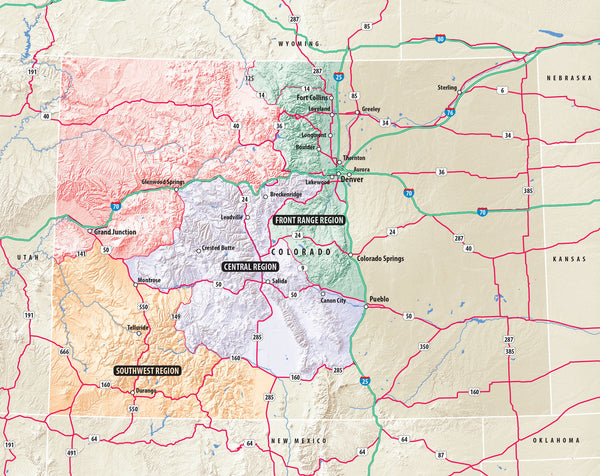
Colorado Trails Southwest Region includes meticulous trail details for 867 miles of the best scenic backroads and four-wheel drive trails in southwet Colorado near the towns of Silverton, Ouray, Durango, Telluride, Lake City, and Creede. Intrepid adventurers will see ghost towns such as Animas Forks, numerous old mines and mill workings, old railroads and stage lines along the 48 off-road routes. Step back in the past while finding abandoned mines and other ghost towns while our hitory write-ups recount the days of the Wild West. Directions include GPS coordinates and all trails are rated for difficulty, mileage, driving time, remoteness, and more. Descriptions highlight ideal places to camp, hike, mountain bike, fish, and sightsee. Perfect for scenic drivers, hikers, mountain biers, 4-wheelers, and everyone who loves the outdoors!
Related products
100- Boulder/Golden
101- Cache La Poudre/Big Thompson
102- Indian Peaks/Gold Hill
103- Winter Park/Central City/Rollins Pass
104- Idaho Springs/Loveland Pass
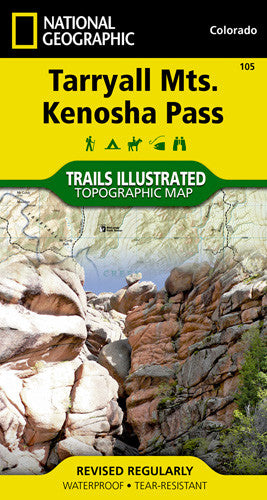
105- Tarryall Mountains/Kenosha Pass
109- Breckenridge/Tennessee Pass
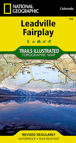
110- Leadville/Fairplay
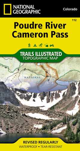
112- Poudre River/Cameron Pass
116- Hahns Peak/Steamboat Lake
118- Steamboat Springs/Rabbit Ears Pass
119- Yampa/Gore Pass
121- Eagle/Avon
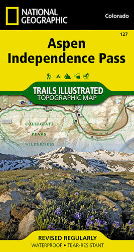
127- Aspen/Independence Pass
129- Buena Vista/Collegiate Peaks
131- Crested Butte/Pearl Pass
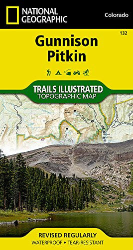
132- Gunnison/Pitkin
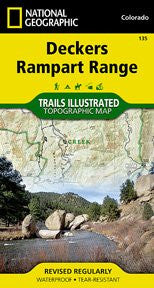
135- Deckers/Rampart Range
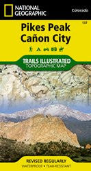
137- Pikes Peak/Canon City
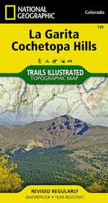
139- La Garita/Cochetopa
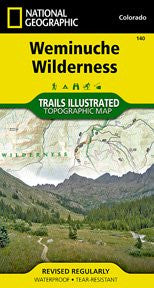
140- Weminuche Wilderness
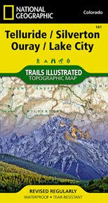
141- Telluride/Silverton/Ouray/Lake City
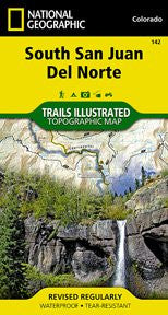
142- South San Juan/Del Norte
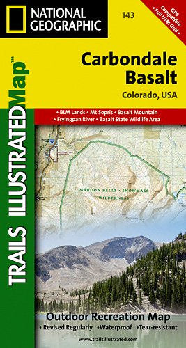
143- Carbondale/Basalt
143- Carbondale/Basalt
144- Durango/Cortez
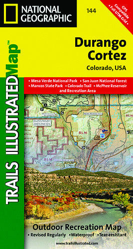
144- Durango/Cortez
145- Pagosa Springs/Bayfield
148 - Collegiate Peaks Wilderness Area
150 - Flat Tops North
151 - Flat Tops South
200- Rocky Mountain National Park
201- Yellowstone National Park
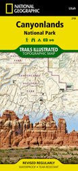
210- Canyonlands National Park
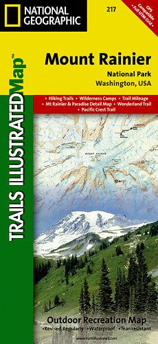
217- Mount Rainier National Park
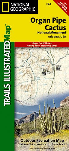
224- Organ Pipe Cactus National Monument
