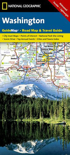
National Geographic Washington State Guide Map
Description
The main map features Washington's highways, toll roads, rest areas, interstates, major and minor cities, National Parks, state parks, points of interest, ski areas, and more. Detailed inset maps of Seattle-Tacoma, downtown Seattle, Olympia, Spokane, and Yakima highlight local roads, points of interest, and local infrastructure. For handy reference, all cities and counties are cross-referenced to an index and a driving distances chart is provided for Washington's 18 largest cities. On the reverse, travelers will find descriptions of suggested points-of-interest indexed to the main map, a recommended scenic drive along Mount Adams, maps and useful information on Mount Rainier, Olympic, and North Cascades National Parks, and recommended places to visit in Seattle. An events calendar, climate information, and State facts round out the perfect combination of map and guide.
Related products
100- Boulder/Golden
101- Cache La Poudre/Big Thompson
102- Indian Peaks/Gold Hill
103- Winter Park/Central City/Rollins Pass
104- Idaho Springs/Loveland Pass
105- Tarryall Mountains/Kenosha Pass
109- Breckenridge/Tennessee Pass
110- Leadville/Fairplay
112- Poudre River/Cameron Pass
116- Hahns Peak/Steamboat Lake
118- Steamboat Springs/Rabbit Ears Pass
119- Yampa/Gore Pass
121- Eagle/Avon
127- Aspen/Independence Pass
129- Buena Vista/Collegiate Peaks
131- Crested Butte/Pearl Pass
132- Gunnison/Pitkin
134- Black Mesa/Curecanti Pass
135- Deckers/Rampart Range
137- Pikes Peak/Canon City
139- La Garita/Cochetopa
140- Weminuche Wilderness
141- Telluride/Silverton/Ouray/Lake City
142- South San Juan/Del Norte
143- Carbondale/Basalt
144- Durango/Cortez
144- Durango/Cortez
145- Pagosa Springs/Bayfield
148 - Collegiate Peaks Wilderness Area
150 - Flat Tops North
151 - Flat Tops South
200- Rocky Mountain National Park
201- Yellowstone National Park
210- Canyonlands National Park
217- Mount Rainier National Park